


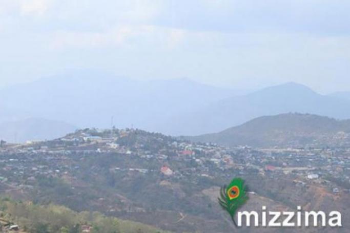
A magnitude 6.1 earthquake struck near Hakha in Myanmar’s Chin State on Friday, according to seismic data reports.
According to Volcanodiscovery.com, which monitors earthquakes worldwide, the earthquake occurred at a moderately shallow depth of 42.1 km beneath the epicenter early morning on Friday, November 26th, 2021, at 5:45 am local time.
Initially, the United States Geological Survey rated the quake at 5.8 on the Richter Scale.
A second report was later issued by Italy's National Institute of Geophysics and Volcanology (INGV), which listed it as a magnitude 6.1 earthquake. Other agencies reporting the same quake include the German Research Centre for Geosciences (GFZ) at magnitude 6.0, and the European-Mediterranean Seismological Centre (EMSC) at magnitude 5.8.
Based on the preliminary seismic data, the quake was probably felt by many people in the area of the epicentre. It should not have caused significant damage, other than objects falling from shelves, and broken windows.
In Hakha (pop. 20,000) located 21 km from the epicentre, Palan (pop. 5,400) 22 km away, Saiha (pop. 22,700) 64 km away, Lunglei (pop. 52,700) 79 km away, and Serchhip (pop. 20,200) 87 km away, the quake should have been felt as light shaking.
Weak shaking might have been felt in Mawlaik (pop. 44,500) located 131 km from the epicentre.